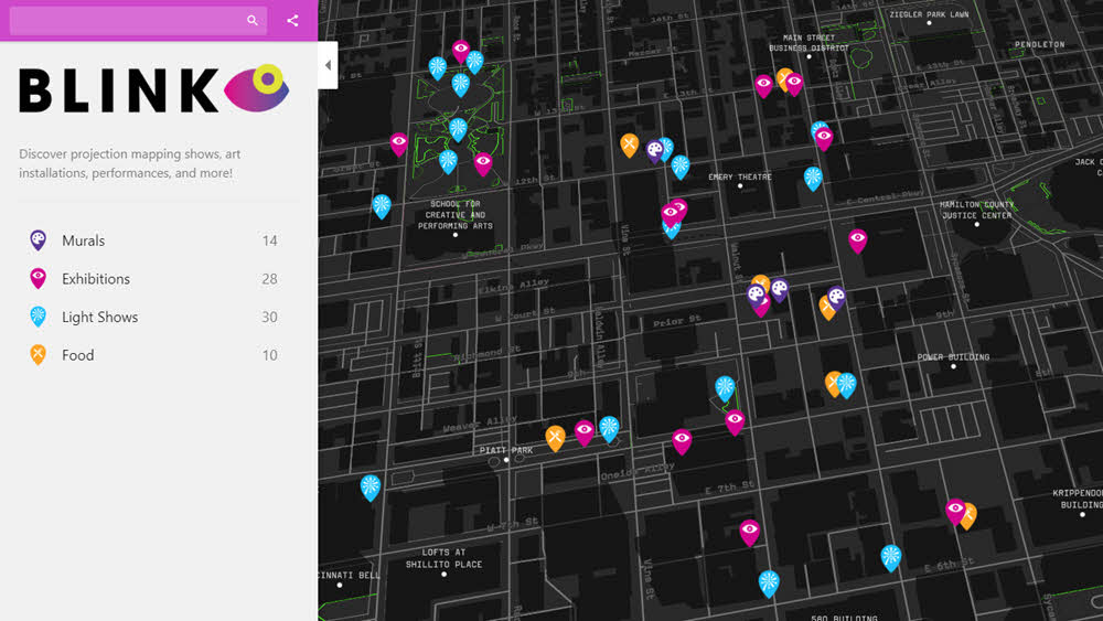
Mapme can be used by non-profits and governments, commercial and residential real estate agencies, tourism and hospitality services and those hosting in-person or virtual events to create interactive digital story maps with customized layouts and design. The process will start with map design where you can choose a custom style, customize markers shape, color and icon or use your own images and easily draw shapes or lines. You can import new locations or mass update existing locations on your map, organize your locations in categories to create filters and add photos, videos, PDFs and 3D tours for each location. If you want enrich users experience, you can also add 3D buildings. Their in-depth analytics and reporting will gain insights into your map traffic data. You don’t need to be a GIS expert or a programmer and coding is not a requirement to use this program. UI is not as user friendly, the locations are sometimes a bit off the mark and the platform is only available in english.